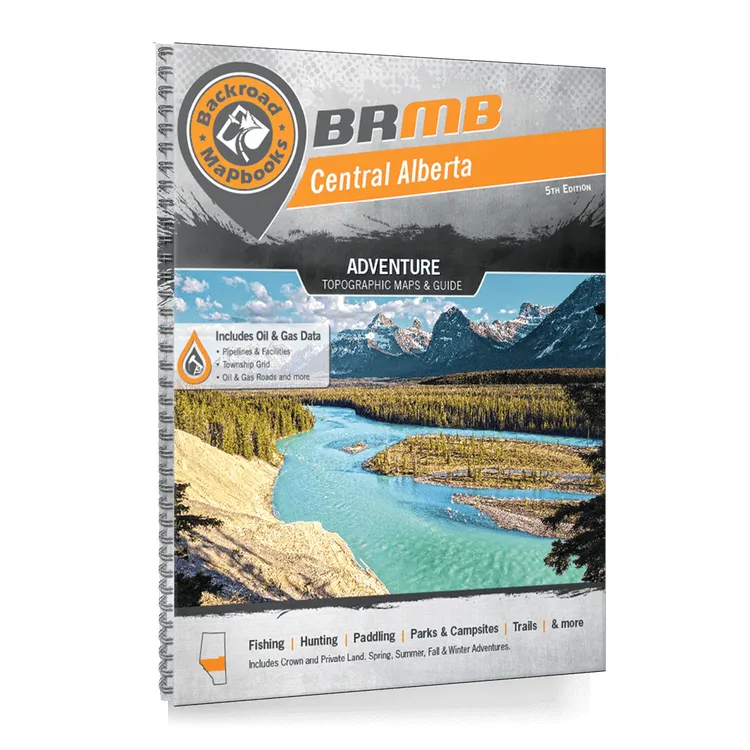
Backroad Mapbook Central Alberta
Covering the central region of the province of Alberta, including the cities of Red Deer and Edmonton, this book is your ultimate guide to camping, hiking, fishing, ATVing, hunting, snowmobiling, paddling and industry resource sites in this spectacular region. From the area around Lac La Biche in the northeastern reaches of this book, where some of Alberta’s best lake fishing can be found, to the stunning Rocky Mountain Parks in the western reaches and the sprawling prairie wilderness in between, Central Alberta is full of outdoor adventure opportunities. This is an expansive area, and while that makes for plenty of space to work, explore and play, it can also make finding that special outdoor spot that much more difficult. This is why wthey have taken great care to provide you with the most comprehensive and easy-to-use mapbook on the market.
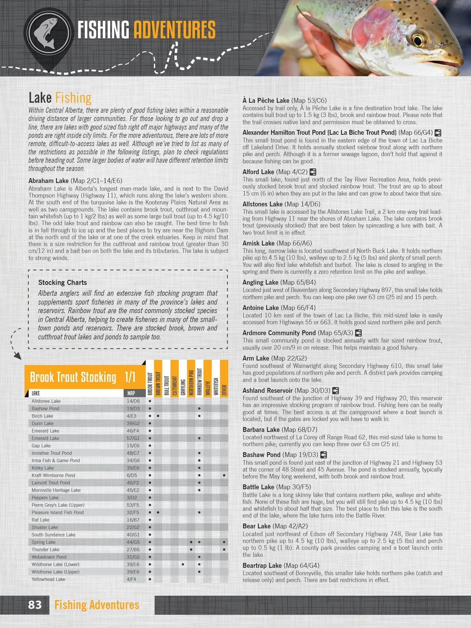
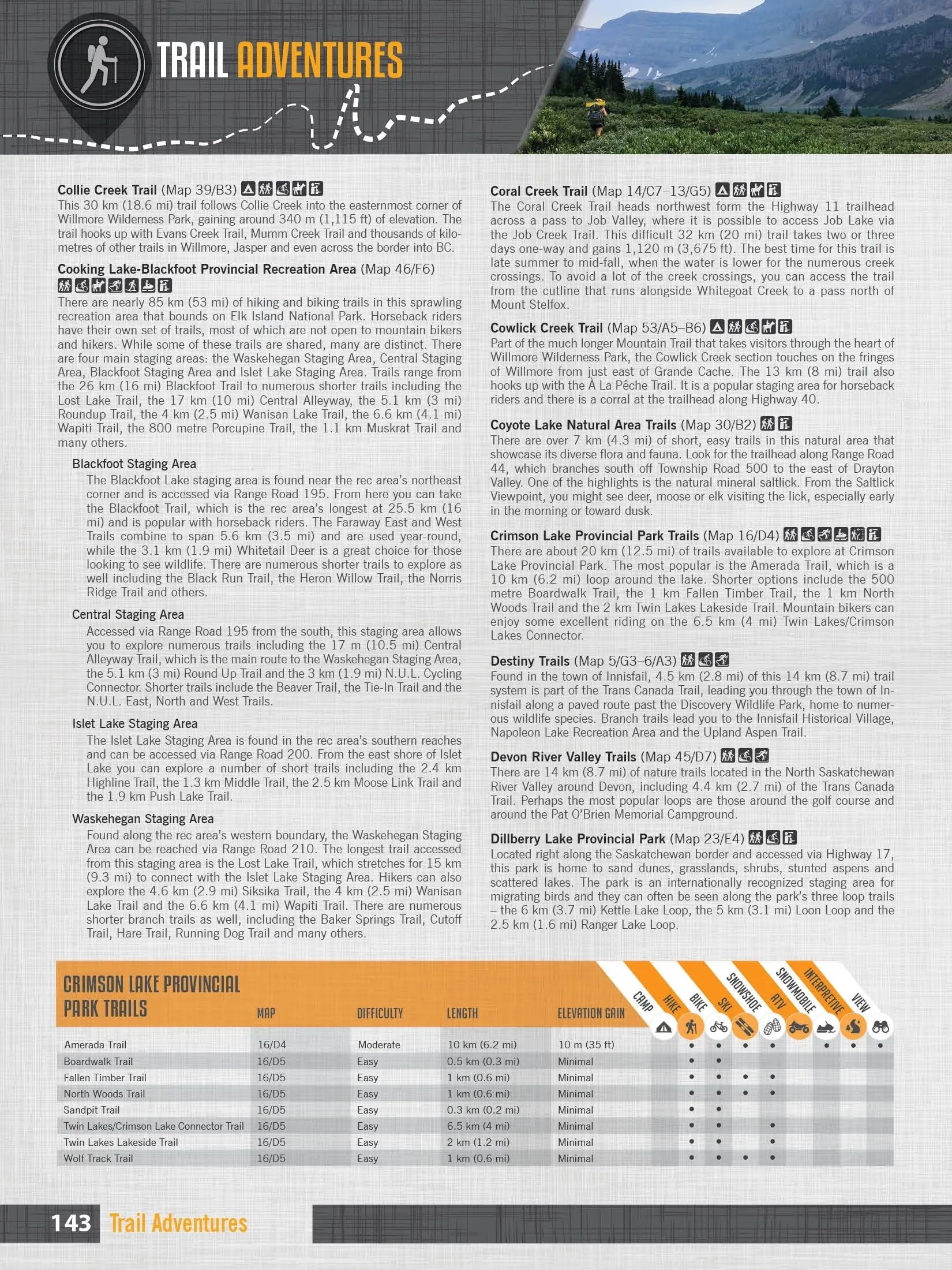
They have spent countless hours updating the maps and expanding the written content to allow you to get out and explore this magical part of Canada with the utmost confidence. The maps now show Crown and private land, labelled fish species for fishing lakes, Municipal District Areas and Grazing Reserves, Oil & Gas facilities, along with the most complete Resource, Industry and Logging road coverage available for Central Alberta. They have also added stocking charts for the region’s stocked fish species as well as trail charts for its major hiking areas. We can confidently say that there is no better resource available for making the most out of Central Alberta’s great outdoors!
Topographic Maps
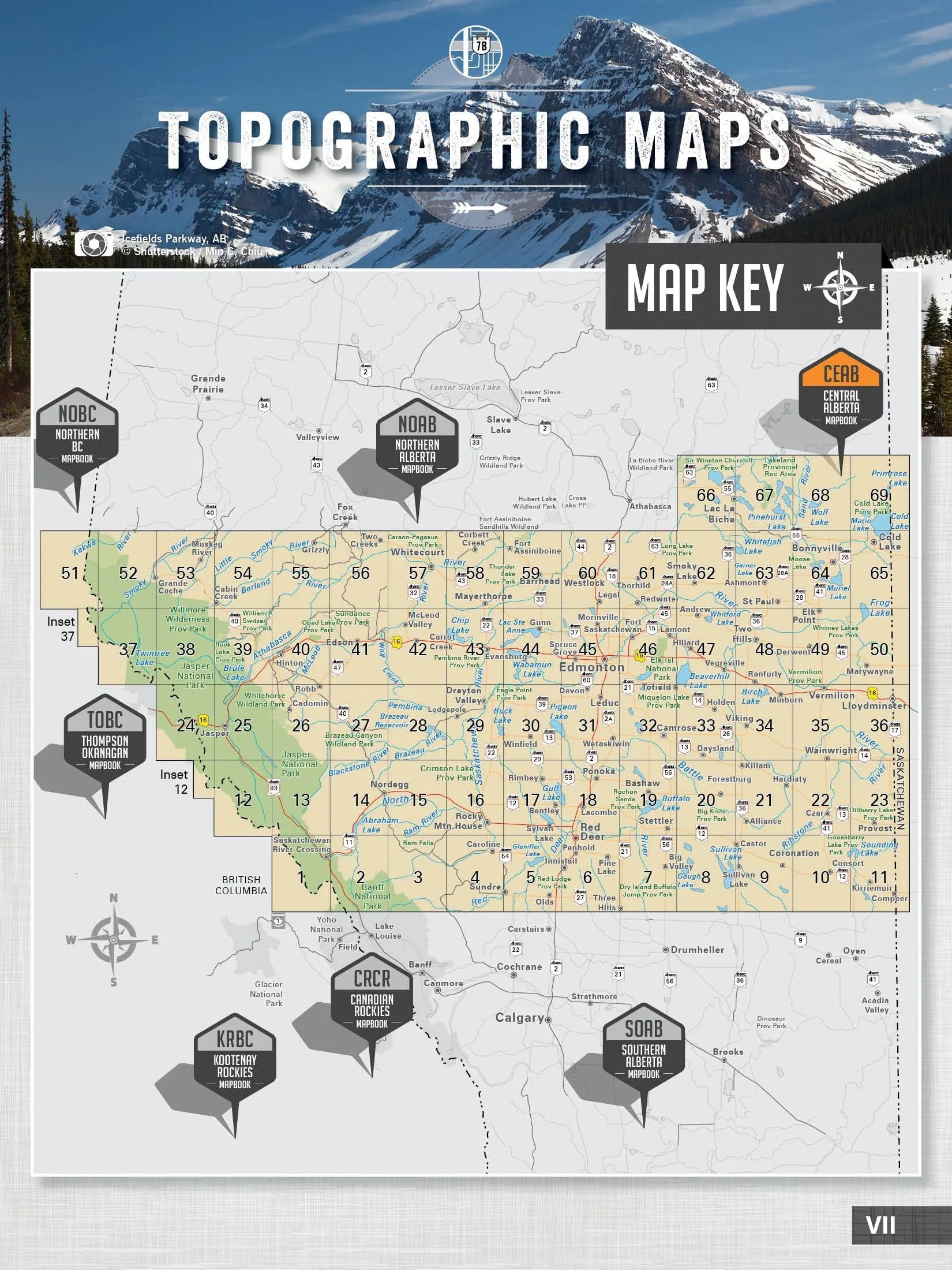
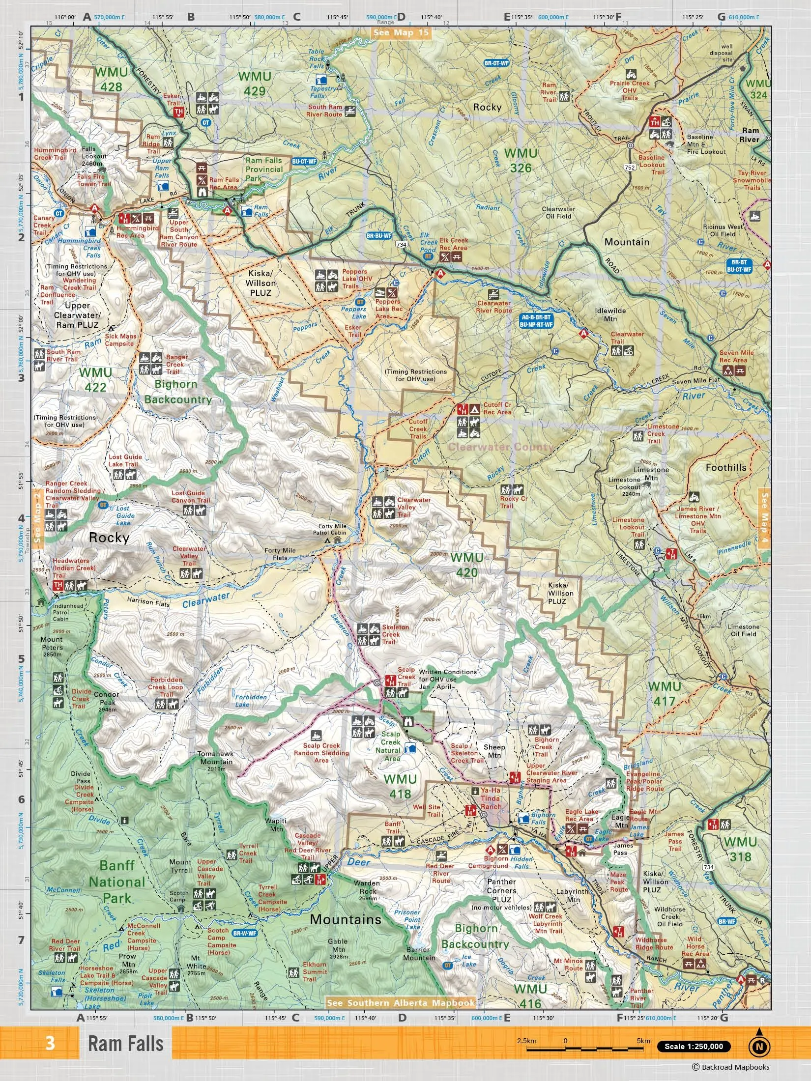
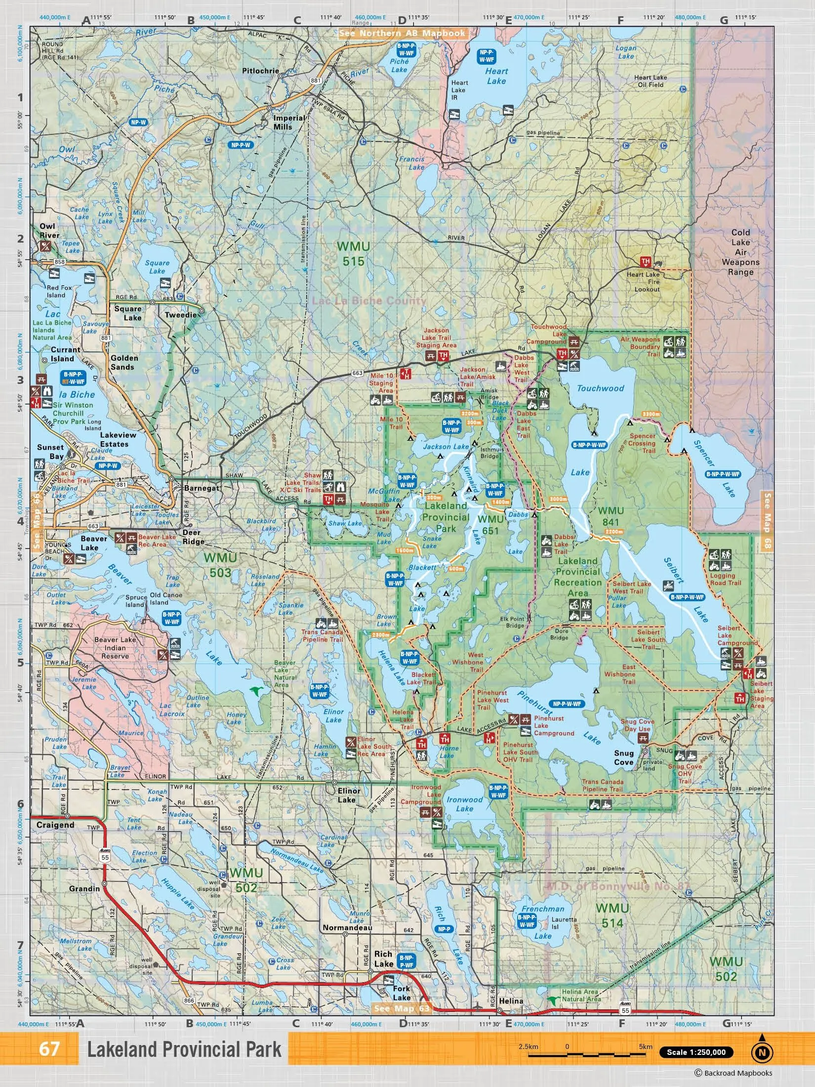
The latest edition of the Central Alberta Backroad Mapbook contains 69 maps at 1:250,000 scale. The industry-leading road coverage shows you all the highways, rural roads and resource roads, plus Oil & Gas data including gas plants, refineries and well disposal sites. They also show you Municipal Regional District Areas, plus Crown and private land, Provincial Parks and Grazing Reserves, as well as detailed water features and seismic line corridors. These 21.5 cm x 28 cm (8.5" x 11") maps are printed on thick, durable paper protected by a heavy-duty spiral-bound cover. You won’t find a longer-lasting, easier-to-use or more detailed collection of maps for Central Alberta anywhere!
Index
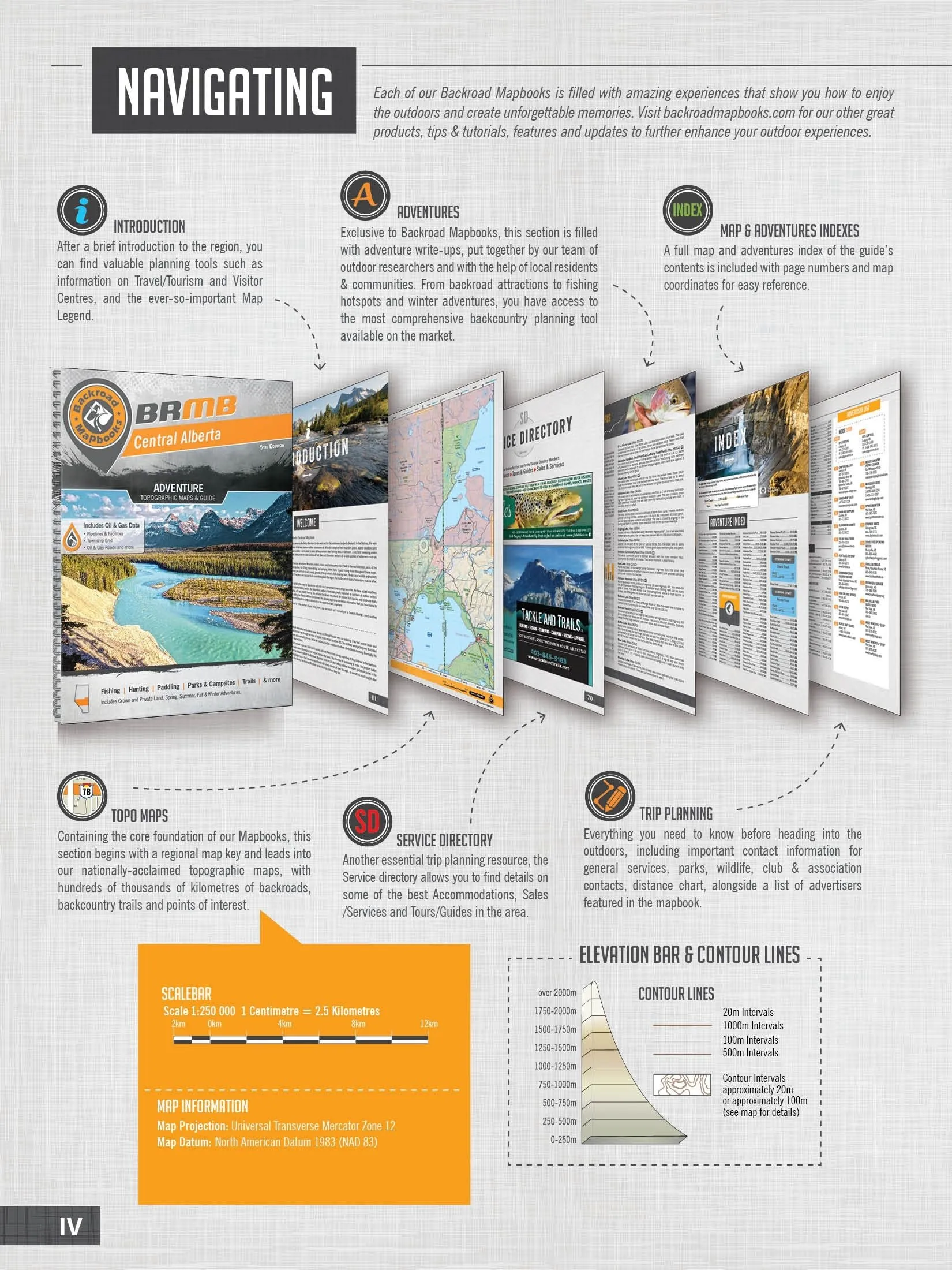
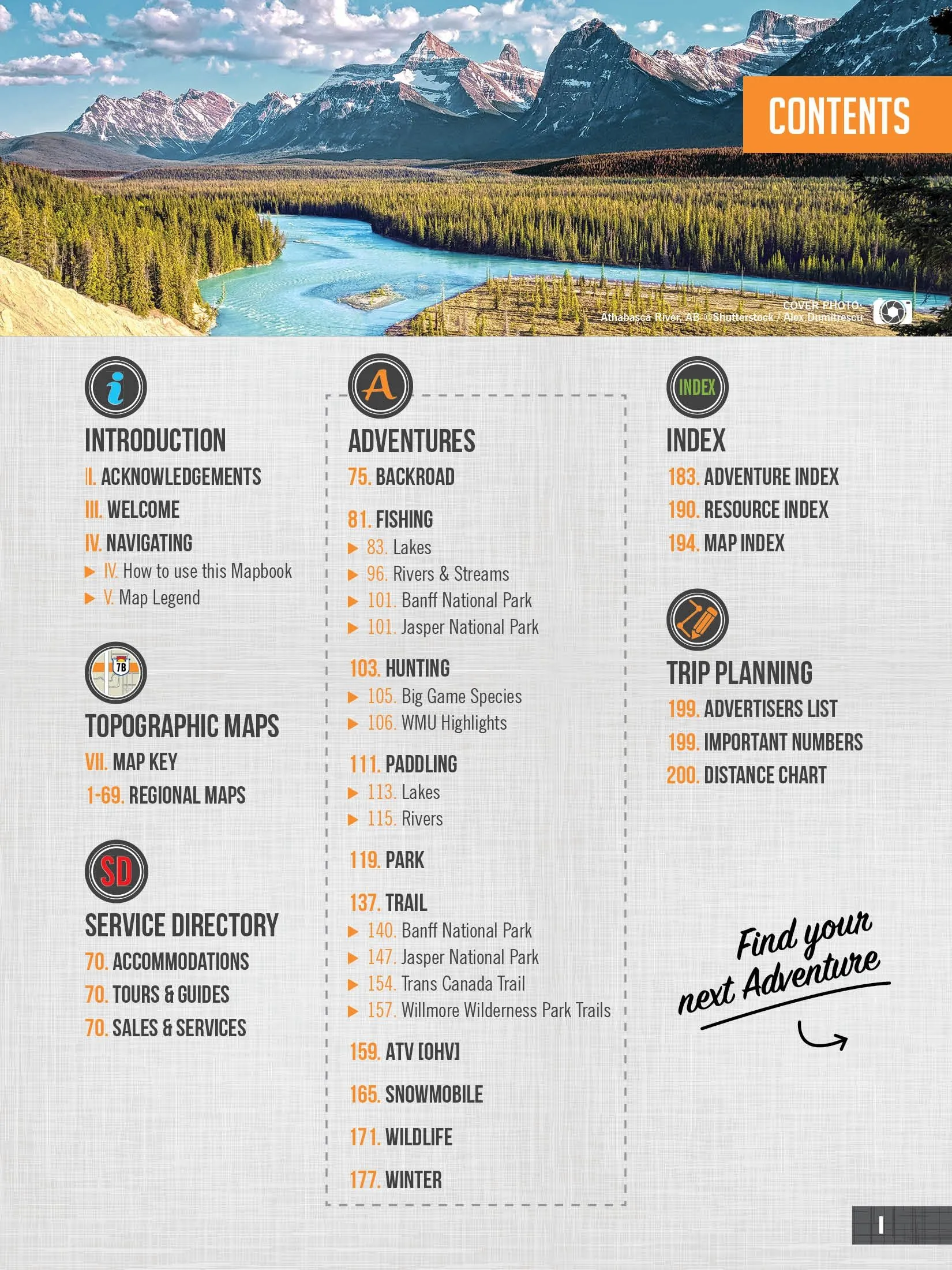
The handy index is divided into Map, Adventure and Resource sections to make it as easy to use as possible. You will find page numbers and map coordinates for each activity and location, plus important numbers, distance charts and an advertiser list for easy referencing. You can also search for individual resource facilities with an LSD Grid.
Resource Data
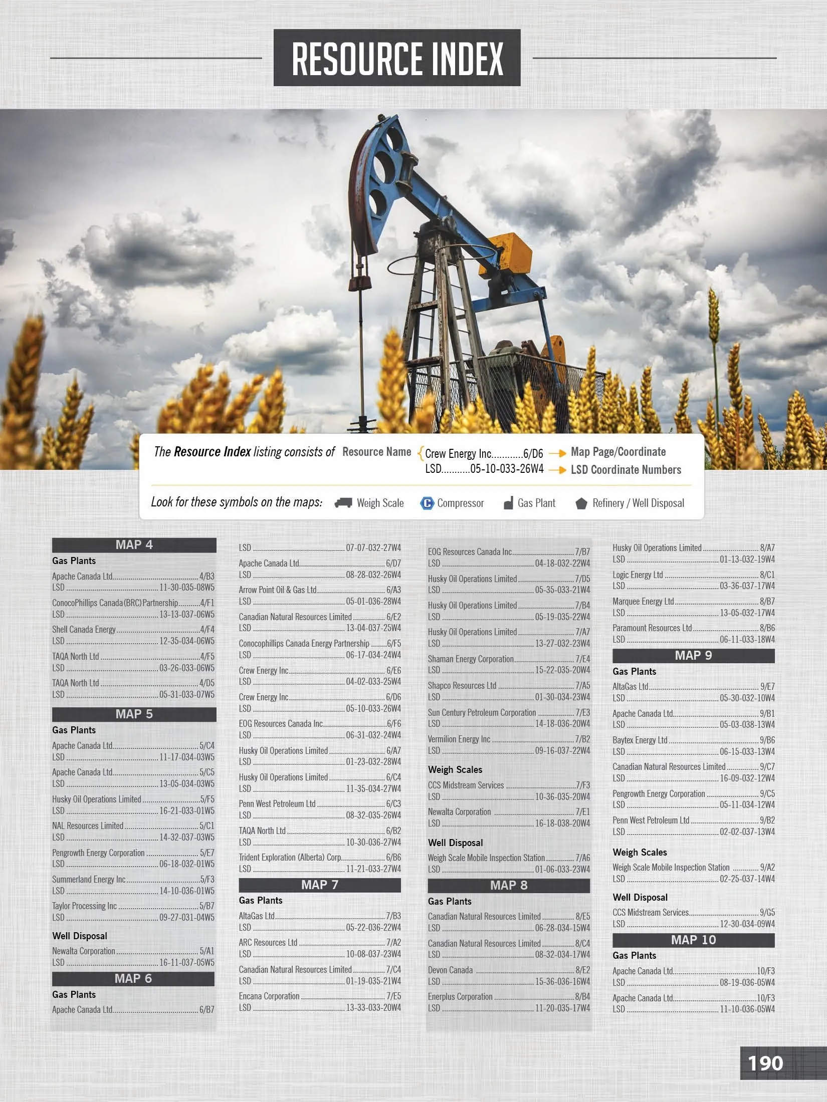
The maps feature industry-leading resource coverage, showing you well disposals, gas plants, weight scales, work camps, refineries and mines throughout the region, all easily referenceable in our Resource Index.
Service Directory
The easy-to-use Service Directory lists the best places to find accommodations, supplies and tours and guides in Central Alberta, including hunting and fishing equipment in Sundre, Jasper, Edmonton, Red Deer and more.


